Photo: AP

Scientists
and engineers in southern China say they have developed technology that
will allow drones to navigate accurately without satellite guidance.
Most
unmanned aerial vehicles (UAVs) rely on systems such as China’s BeiDou
or America’s GPS to find their way around, but signals can be jammed or
weakened.
Military
drones can be equipped with terrain-contour matching software and
guidance systems such as gyroscopes to watch their speed and direction
and use that information to work out their position from point of
take-off.
But
these systems are too bulky, complex and expensive for commercial
drones. At the Shenzhen Institutes of Advanced Technology in Guangdong
province, Professor Zhou Yimin and her colleagues think they have a
simple solution to a weighty problem.
They
developed software that can fix an object on the ground, such as a
tree, from a series of images taken by a video camera aboard the drone.
The data is combined with the readings from the UAV’s movement sensors
and a flight path coordinated.
According
to a patent filed by Zhou’s team in July, the system had to overcome a
problem – an industry standard camera takes 30 frames per second, far
more than the computer aboard a typical drone can process.
To
solve the problem, Zhou allowed the computer to “cherry-pick” the
photos it used for ground reference. She wrote an algorithm that would
quickly look over the images and single out those with helpful
landmarks.
This
could also mean that the tree could be blurred by motion or blocked
from view by a building. But the drone would fly on and its sensors
would correct its course when observations resumed.
Zhou could not be reached for comment on her team’s findings.
On
Monday, a scientist at the institute in Shenzhen – home to some of the
world’s biggest drone producers – confirmed the development but would
not talk about the accuracy and effective range of the system because of
its possible military sensitivity.

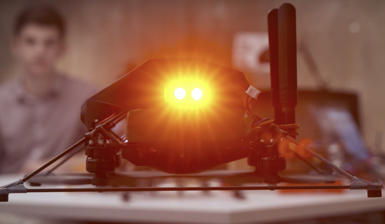
Engineers are seeking alternatives to satellite navigation for commercial drones. Photo: Nvidia
Professor
Zhao Long, digital navigation centre director with the Beijing
University of Aeronautics and Astronautics, said it was becoming
possible for small drones to fly without satellite help thanks to the
maturity of alternative technology and the falling cost of hardware.
US-based
company Nvidia launched a similar project in 2017, while this year
Everdrone, a Swedish company, completed the first autonomous journey
between two hospitals in Gothenburg using a UAV with limited GPS help.
“But there are still some environments in which they [drones] cannot fly,” Zhao said.
This may including night-time flights where UAV cameras struggle to find reference points.
Out-of-the-box
commercial drones using GPS, BeiDou, Europe’s Galileo or Russia’s
Glonnas receivers will not navigate in no-fly zones near sensitive
facilities such as airports and government buildings.
But governments and armed forces were already preparing for GPS-free drones, Zhao said.
The
latest anti-drone systems consist not only of a device to jam satellite
signals, but also have low-frequency sound monitors, highly sensitive
radar and powerful lasers to locate and destroy intruders.
“[So] I don’t see a reason why alternative guidance technology should be barred from civilian [use],” Zhao said.
This article appeared in the South China Morning Post print edition as: new drone navigation system may rival GPS


Post a Comment Blogger Facebook Disqus